Jordan Creek Survey
Project Information
Our Project Story
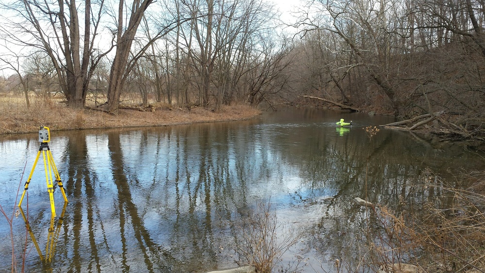
As a sub-consultant to an environmental conservancy, Isett’s Survey Department was engaged to conduct a stream survey utilizing GPS technology and conventional surveying equipment relating to the potential removal of a century-old dam.
The team conducted topographic surveys above and below the dam, including the area between the stream banks including, but not limited to, top of bank, bottom of bank, edge of water, bottom of stream, structures, dams, above ground visible utilities and drainage structures with pipes and sizes.
The project also involved locating trees, noting size and species, and obtaining ground elevations 75 feet away from the top of stream bank. A digital terrain model of the project site was prepared in AutoCAD to show features and elevation contour lines at a one-foot intervals along with the preparation of survey plans.


