
The Survey Department at Barry Isett & Associates, Inc. is upgrading their full range of surveying services to include the latest in 3D scanning. Improvements in scanning technology and data processing allows the team to preliminary register scan data and view the point cloud information in real time in the field to ensure that the proper amount of data is being collected to produce a quality deliverable. Cloud to Cloud point registry eliminates the need for setting targets at redundant scan locations to “stitch” the point clouds together, increasing overall data collection efficiency.
Now equipped with a new Trimble X9 Laser Scanner and Trimble T10X Tablet, reality can be captured and processed in minutes. The associated scan data processing and collection software, Trimble Business Center and Trimble Access, also received upgrades to ensure that Isett is on the cutting edge of available technology, enabling a seamless transition between field collected data and data processing.
The Isett team has extensive experience in a variety of scanning projects, including pump stations, compressor stations, interior building scans to include MEP and overall building as-builts, utility scans including sanitary and storm as-builts, substations, and storm pipe monitoring. Although this is not new technology to Isett, the equipment upgrade allows the Survey department to collect scan data in an efficient and cost-effective manner.
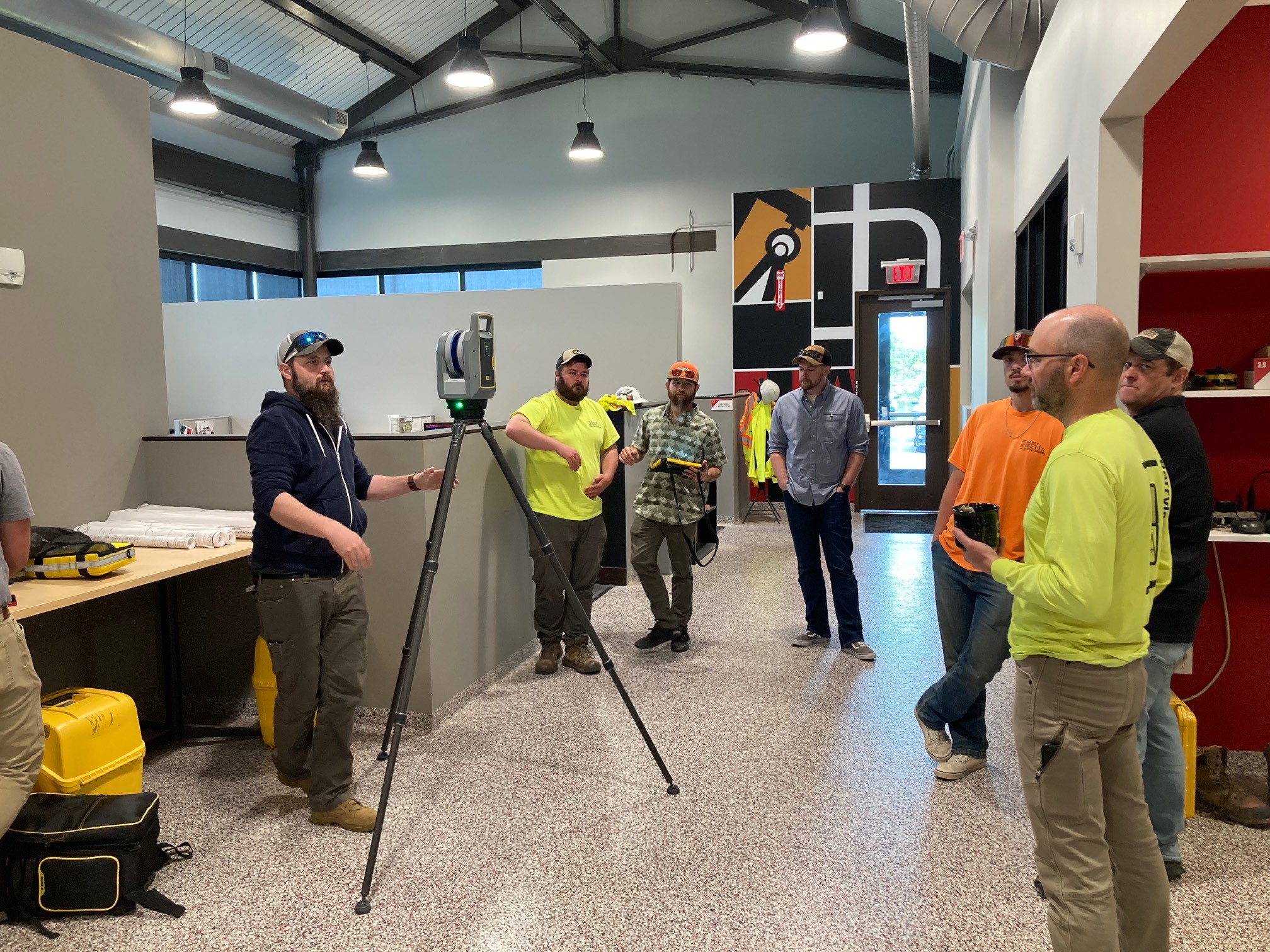
In early May, the team participated in a training session at the Isett Headquarters in Allentown. Using the new Trimble scanner and tablet, the eastern portion of the building from the Construction Materials Testing lab, following the main lobby, and to the main exterior entrance of the building was scanned – roughly 7,000 square-feet – in approximately 20 minutes. This data, including imagery collection, was imported to the Trimble Business Center and classified into a point cloud format in less than one hour. From the point cloud format, data can be extracted and put directly into Revit and/or CADD formats for project modeling.
This versatile and reliable technology presents endless opportunities throughout various service markets, project types, and indoor/outdoor survey applications. If you can see it, we can scan it!